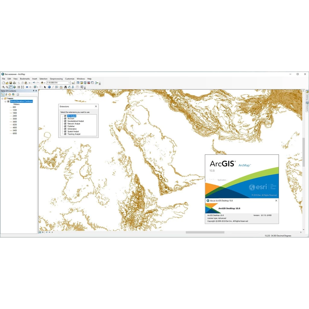


Introduction to Esri ArcGIS Pro
Esri ArcGIS Pro stands as a pivotal platform in the realm of geographic information systems (GIS), designed to deliver enhanced data analysis, visualization, and sharing capabilities. Unlike its predecessors, ArcGIS Pro integrates a range of advanced functionalities that cater to the demands of modern GIS applications. This software enables users to handle the complexities of spatial data with unprecedented ease, thereby transforming the way geographic information is managed and utilized.
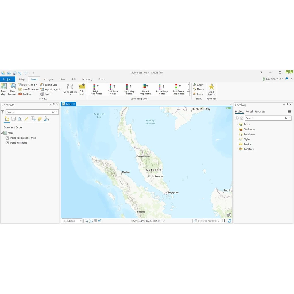
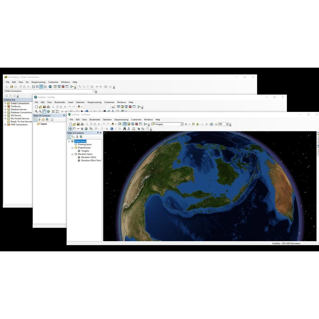
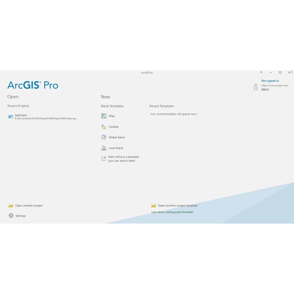
One of the most significant advancements in ArcGIS Pro is its intuitive interface, which streamlines user interactions and facilitates a more efficient workflow. Users can easily navigate through a comprehensive array of tools designed for high-level analyses and detailed mapping. Furthermore, ArcGIS Pro harnesses the power of 3D visualization, allowing users to create dynamic three-dimensional representations of spatial data. This feature enhances the understanding of spatial relationships and provides insight into complex geographical scenarios, making it a valuable asset for professionals across various fields.
Integration with ArcGIS Online amplifies the capabilities of ArcGIS Pro, enabling users to access and share their work seamlessly within a collaborative environment. This connectivity allows for real-time updates and the sharing of geospatial information among diverse stakeholders, ensuring that urban planners, environmental scientists, and GIS analysts can work harmoniously within a unified framework. The software is particularly useful for conducting spatial analysis, which is essential for decision-making in planning and resource management. As the demand for sophisticated mapping solutions grows, ArcGIS Pro continues to play an integral role in advancing the field of GIS, empowering users to unlock the full potential of spatial data.
Key Features and Benefits of ArcGIS Pro
Esri ArcGIS Pro is a robust geographic information system (GIS) application that offers a multitude of features catering to the needs of GIS professionals. One of its most notable features is its multi-threaded and 64-bit architecture, which significantly enhances the software’s processing capabilities. This architecture allows users to perform complex analyses and render large datasets rapidly, facilitating a more efficient workflow. For professionals working with extensive geospatial information, this feature is indispensable.
In addition to improved processing speed, ArcGIS Pro boasts an extensive suite of geospatial analysis tools that provide users with the ability to carry out a diverse range of analytical tasks. This includes spatial analysis, statistical analysis, and the integration of diverse data formats. The flexibility to analyze and visualize data dynamically empowers users to create compelling visual narratives and engage with their data meaningfully.
Another key feature is the ability to generate dynamic maps and 3D scenes. With ArcGIS Pro, users can create visually striking presentations, enhancing the visual communication of spatial information. The 3D capabilities enable professionals to visualize and analyze spatial data in ways that traditional 2D maps cannot achieve, thereby aiding in tasks such as urban planning, environmental analysis, and disaster management.
Furthermore, ArcGIS Pro supports collaboration through shared projects, allowing users to work alongside stakeholders and team members seamlessly. This capability is particularly beneficial in environments where teamwork and communication are paramount. Lastly, the integration of ArcGIS Pro with other Esri products augments its functionality, creating a well-rounded toolkit for various applications. Real-world case studies demonstrate how organizations implement ArcGIS Pro to enhance decision-making, showcasing its value across multiple sectors such as forestry, urban development, and emergency response.


Zainab Maryam –
I was searching for thins for long time and finally I got this. Thank you seller.